Places
Hinterland / History / First Nations / Land / Regional
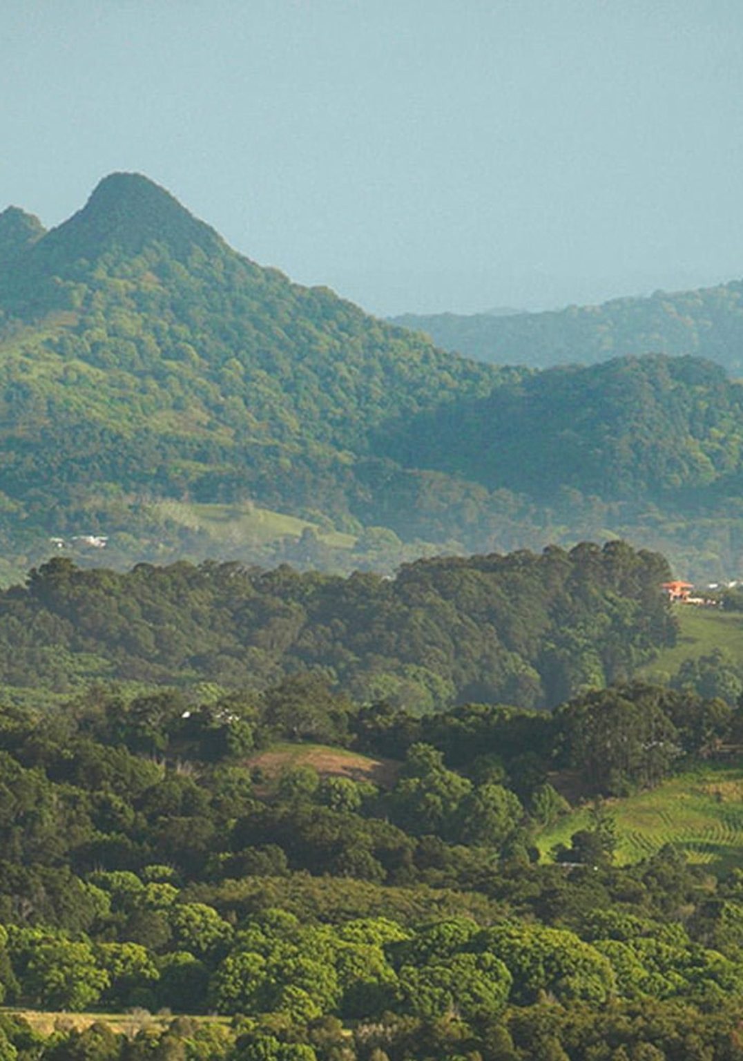
Hinterland
Bangalow sits at the centre of a wider landscape often simply called ‘the hinterland’ – a network of villages, valleys and rural communities connected by geography, history and shared experience.
Within the 2479 postcode, that includes Bangalow itself, Newrybar, Brooklet, Coopers Shoot and the surrounding farmland that rolls towards the coast. These places share more than a postcode. They share schools, sporting clubs, markets, volunteer groups and a long agricultural history that began with cedar cutting and dairying, and continues today through small-scale farming, creative enterprise and local business.
The hinterland does not stop at 2479. It extends outward into neighbouring postcodes and communities that are closely linked in daily life – Federal and Eureka to the west, Clunes and Bexhill to the south, Nashua, Possum Creek and other rural pockets that weave into the same social fabric. Residents move easily between them for work, education, events and family connection.
Historically, these settlements grew along ridgelines and river flats, shaped by the Bundjalung landscape, early European agriculture and the coming of the railway. Halls, churches, showgrounds and sporting fields became gathering places. Many still serve that purpose today.
For The Bangalow Herald, the hinterland is not a vague regional label. It is a living network of communities with distinct identities and shared concerns. Local planning decisions, environmental challenges, cultural events and volunteer initiatives often ripple across postcode boundaries.
Telling stories from across the hinterland recognises that Bangalow does not exist in isolation. It is part of a wider region extending from Ballina to Lismore to Tweed Heads, whose history, creativity and everyday life are deeply interconnected.

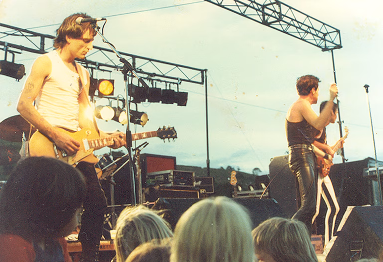
When the music came to the Bay
Tricia Shantz has followed the success of her first book, Neverland – a social history…
The little hall that could
Brisbane, Sydney, Melbourne, Pearces Creek: every few weeks, international and Australian musicians depart from their…

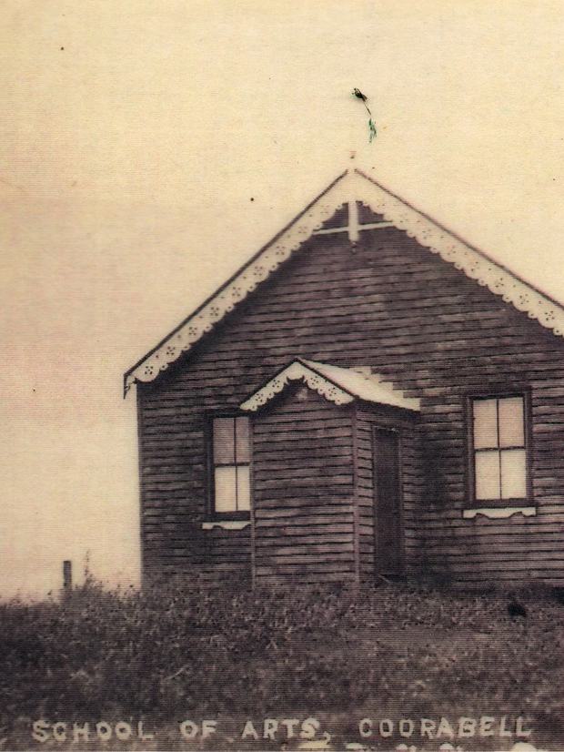
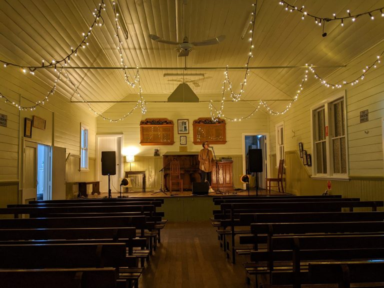
Coorabell calling
A tiny team of volunteers keep the action happening and the lights on, in the…
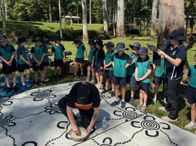
Learning outside the square
What’s behind the heightened interest of schools and teachers to expose their students to ways…
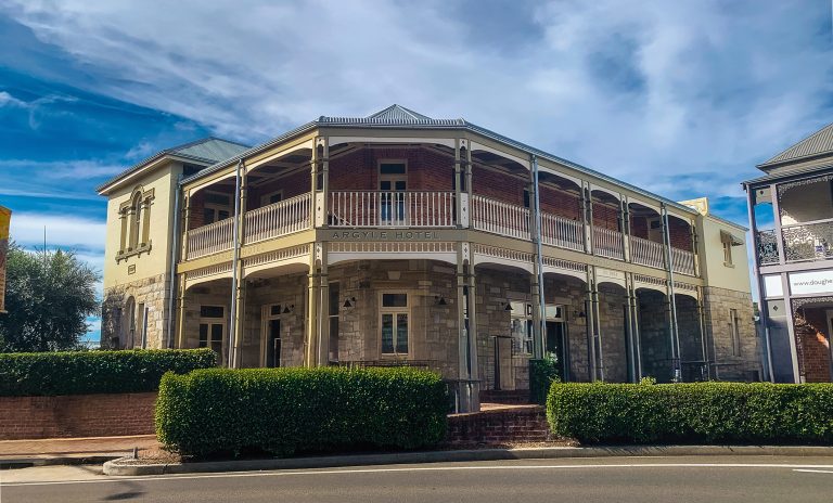
No stone unturned
When Bangalow architect Duncan Sproul joined forces with Sally and Dhugal Cowan to restore Maclean’s…
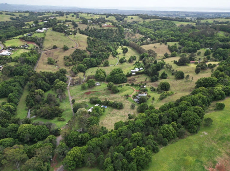
A transformation – 30 years on
Christobel Munson was one of six people who bought the Fowler family farm on Fowlers…
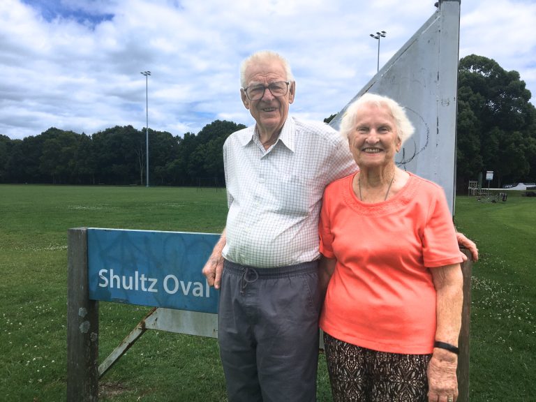
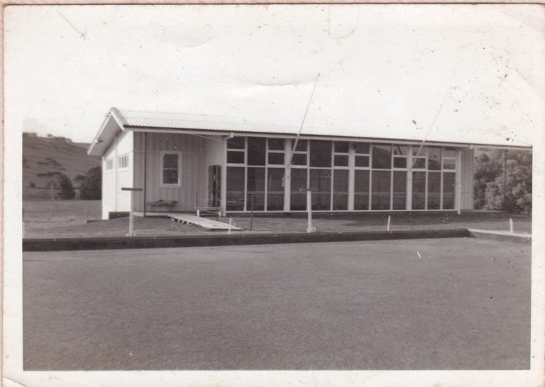
A short history of Shultz Cricket Oval
Brian Shultz (Shultzy) was born in 1938 and posted to Bangalow police station as sergeant…
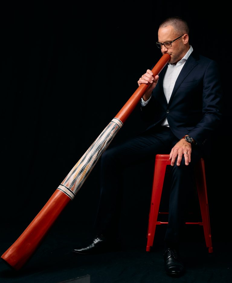
Delta goes to Garma
At the best of times, you need stamina and determination to make a trip from…
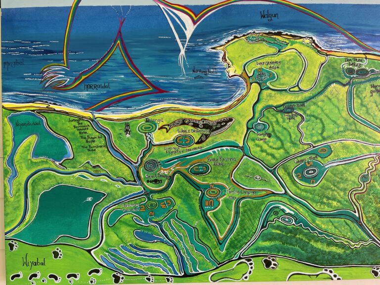
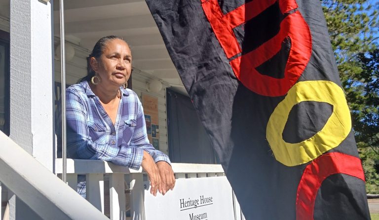
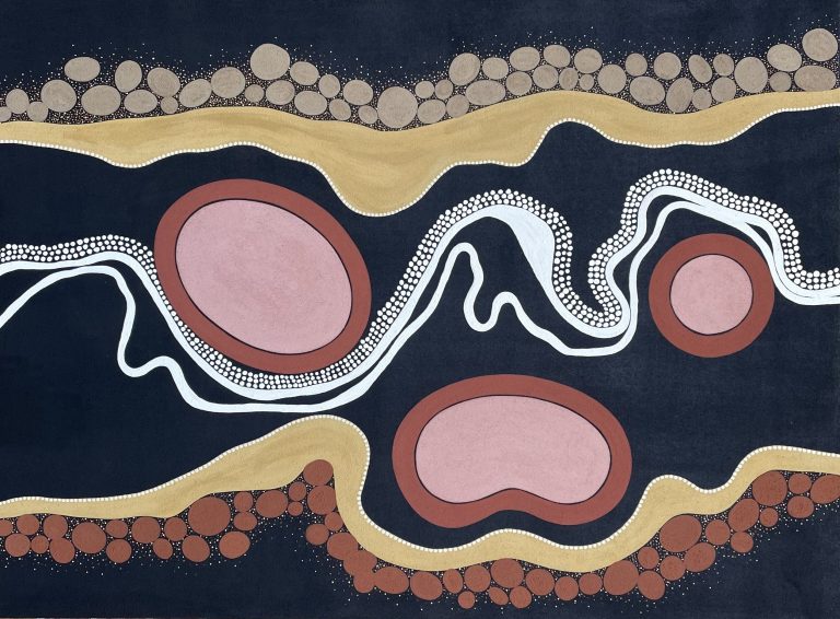
Exploring Country
There are places within a short drive from Bangalow that you can visit to learn…

Voicing your opinion
In the September edition of the Herald, I asked the community if anyone wanted to…
A Voice to parliament
Later this year, Australians will have their say in a referendum to recognise Aboriginal and…
Heavenly music ahead
Before La Nina turned our blue skies permanently grey we were able to see the…
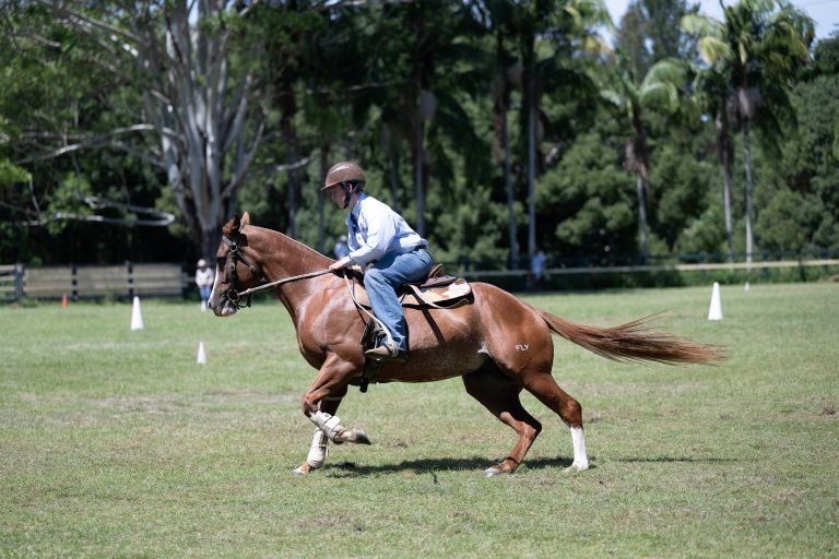
Buckle up, Bangalow
When Zoe Olive first dreamt up the Bangalow Buckle Challenge in 2018, she wasn’t chasing…
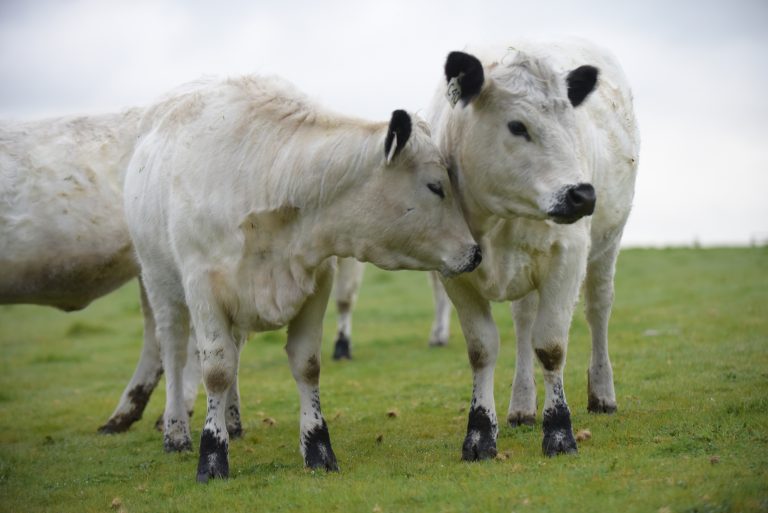
Cattle and a rare breed of farmer
Building a thriving future for a rare and ancient breed of cattle is the passionate…
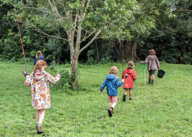
The lure of the lure
Much is made these days of the negative side-effects of too many hours spent by…

Advocating for agriculture
With a history dating back over 60 years, The Land Sydney Royal AgShows Young Woman…
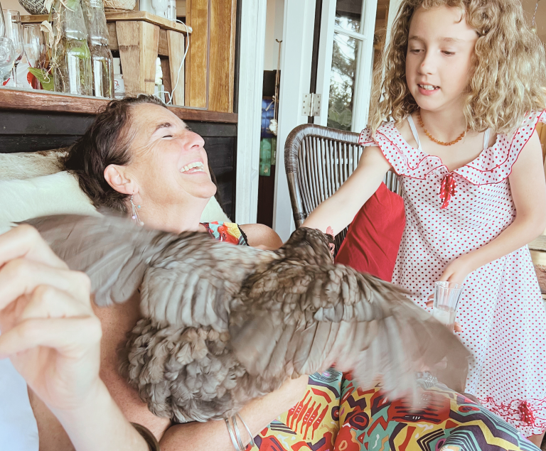
Yeah the girls!
With supermarket egg prices hitting record highs, getting a few chooks seems like the perfect…
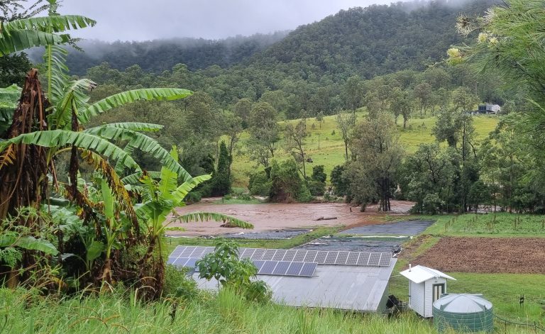
Alfred – the environmental damage
The ex-cyclone had us all hunkered down in our houses for long days and nights…
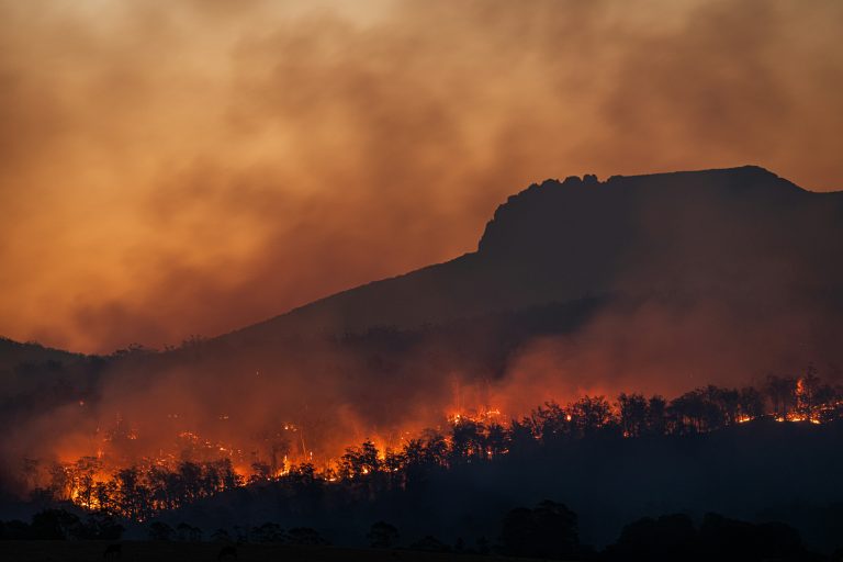
Climate Change, Resilience, and the Future
The catastrophic floods of 2022 were a wake-up call for our region. While Bangalow wasn’t…
A transformation – 30 years on
Christobel Munson was one of six people who bought the Fowler family farm on Fowlers…
No stone unturned
When Bangalow architect Duncan Sproul joined forces with Sally and Dhugal Cowan to restore Maclean’s…
Exploring Country
There are places within a short drive from Bangalow that you can visit to learn…
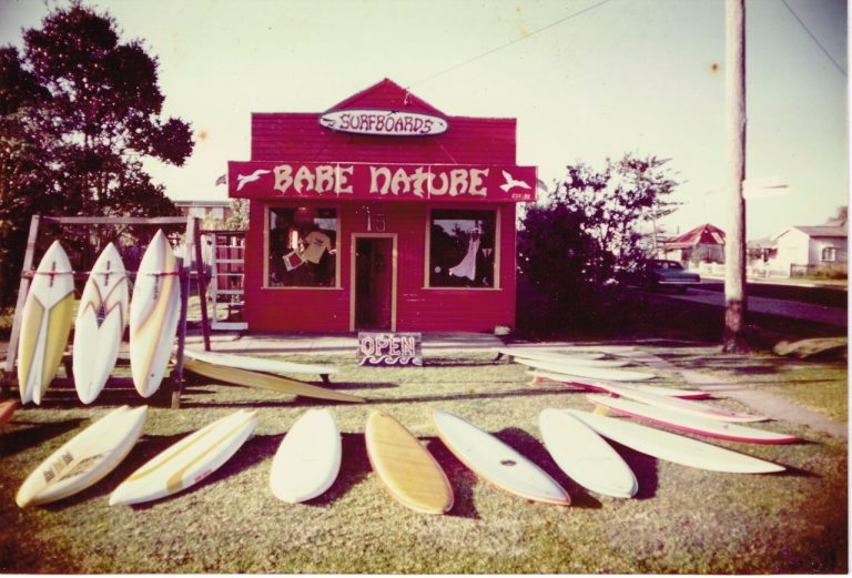
Finding Neverland
Tricia Shantz has lived in Byron Shire for 40 years, 33 of those in Coorabell.…